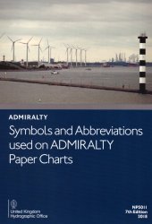
Название: Symbols and Abbreviations used on ADMIRALTY Paper Charts. 7th edition
Автор: UK Admiralty, UKHO
Издательство: UK Admiralty, UKHO
Год: 2018
Формат: pdf
Страниц: 75
Для сайта: mirlib.ru
Размер: 20,55 МБ
Язык: english
Gives details on symbols and abbreviations used on the worldwide range of ADMIRALTY charts, and international Chart Series Paper Charts. It also contains information on hydrography, topography and navigational aids and services.
• Admiralty and INT (from the international chart series) symbols clearly illustrated in full color
• Hydrography - the nature and conditions of the seabed
• Topography - natural and man-made features
• Navigational aids and services
• Abbreviations of principal English and foreign charts
• General information on the content of Admiralty Charts.
[related-news] [/related-news]
Комментарии 0
Комментариев пока нет. Стань первым!
